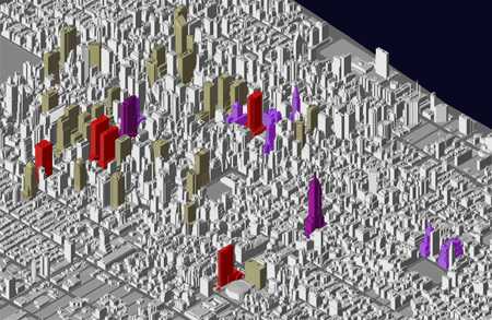
URBAN DATA SOLUTIONS
The Manhattan maps have been generated from a 3-D computer model published by Urban Data Solutions, a New York software company. The model, which took three years to create, is comprised of over 25,000 buildings and 3 million polygons. Each building is unique and dimensionally accurate to within a meter. The model is created from numerous sources including aerial and ground photography, digital stereoscopic photogrammetry, and publicly available maps.